The Collections of the National Museum of Lithuania Have Been Enriched by the National Atlas of Lithuania
2025 06 11
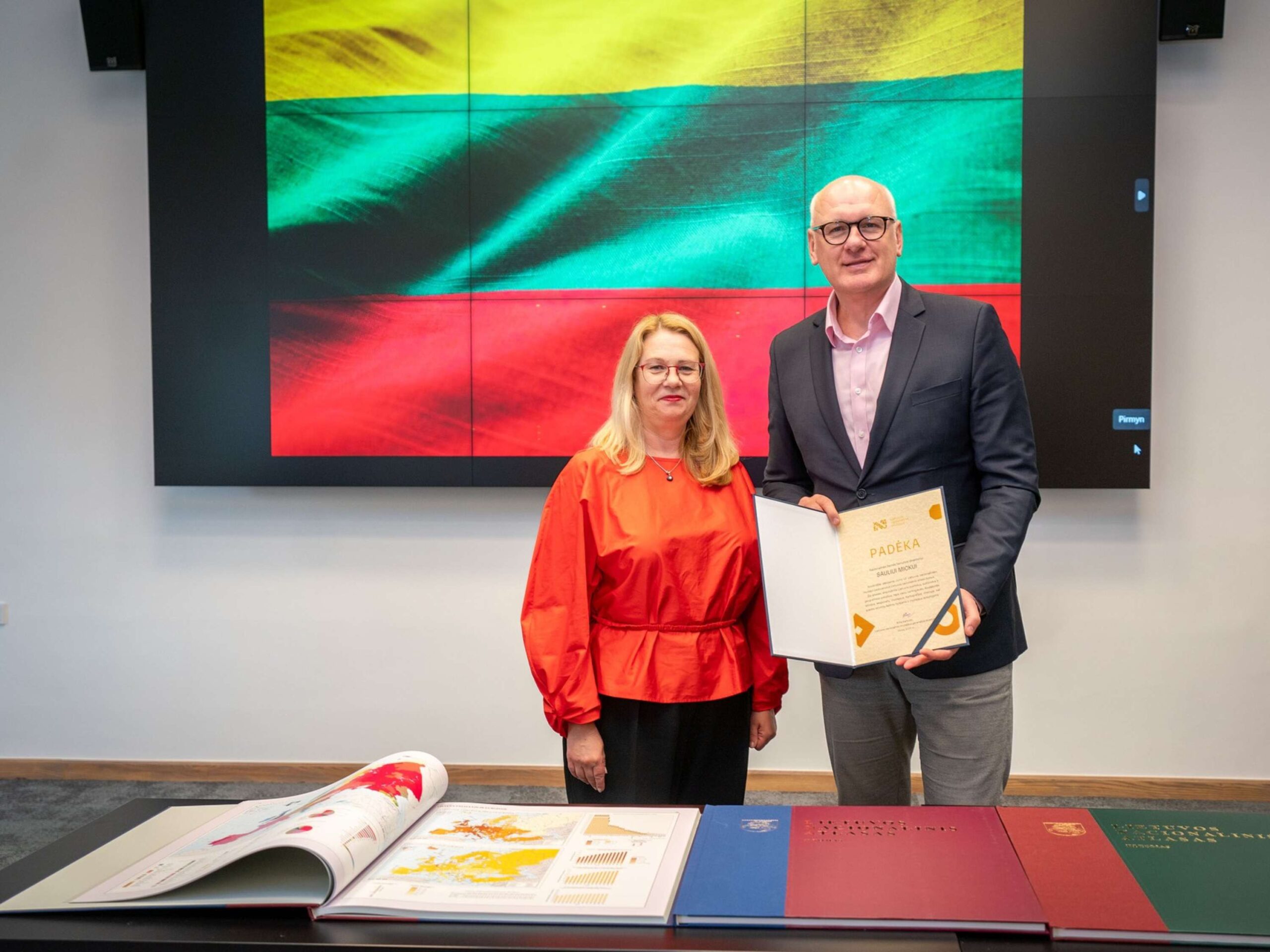
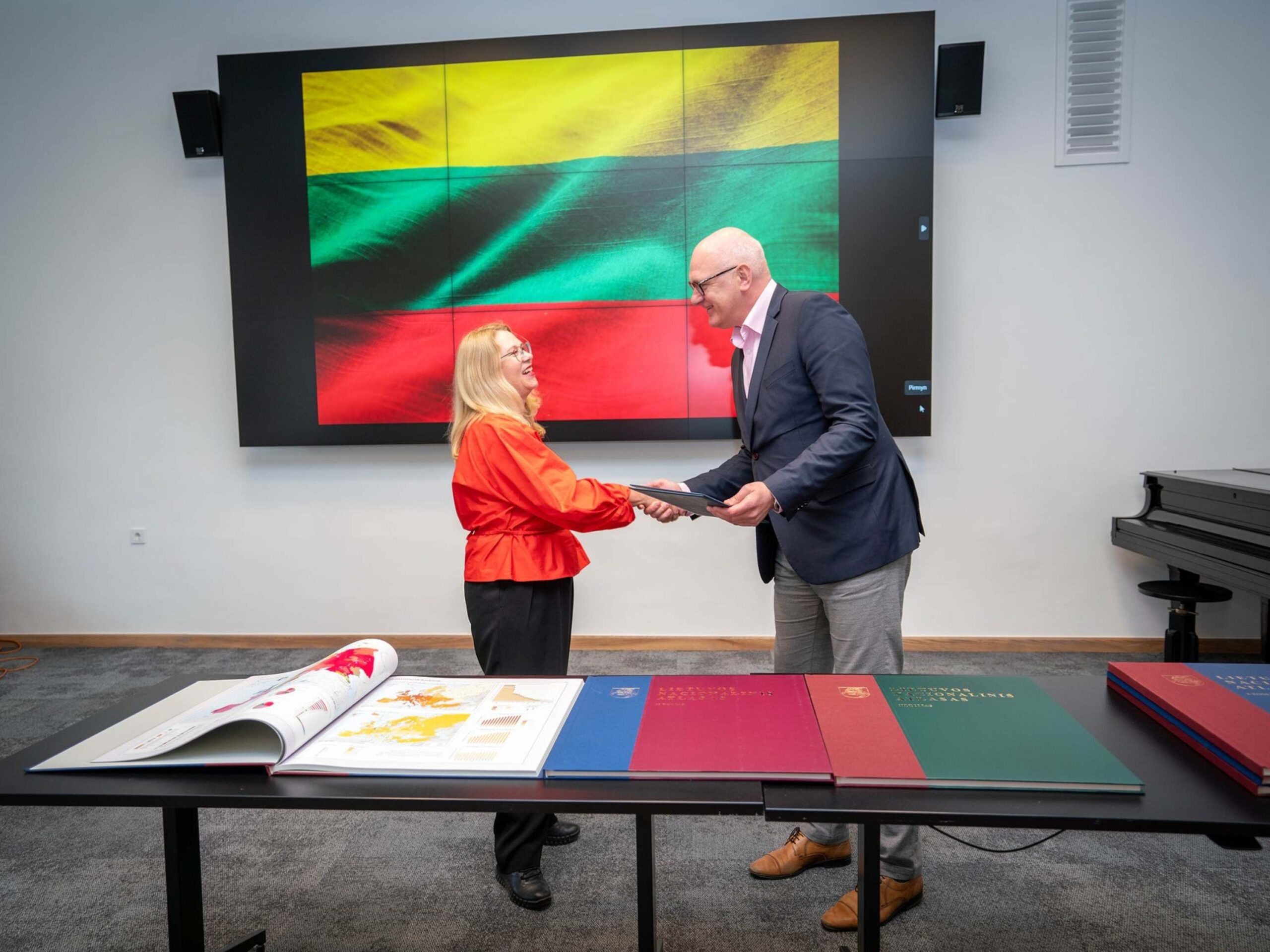
On June 11, the National Land Service under the Ministry of Agriculture of the Republic of Lithuania handed over valuable cartographic publications to the National Museum of Lithuania – all three volumes of the National Atlas of Lithuania, published between 2014 and 2017. These publications will become a significant part of the Museum’s Cartography Collection – one of the most important collections of its kind in Lithuania.
A Unique Gift
The publication of the National Atlas of Lithuania was initiated by the National Land Service under the then Ministry of Agriculture. The project involved the former state enterprise National Center for Remote Sensing and Geoinformatics “GIS-Centras”, UAB “Hnit-Baltic”, the Lithuanian Cartographers’ Association, and Ambassador Zenonas Kumetaitis. The majority of the maps in the atlas were prepared by the Geography and Cartography Centre of Vilnius University. The publisher was the state enterprise “GIS-Centras”, and the exclusive copyrights belong to the National Land Service.
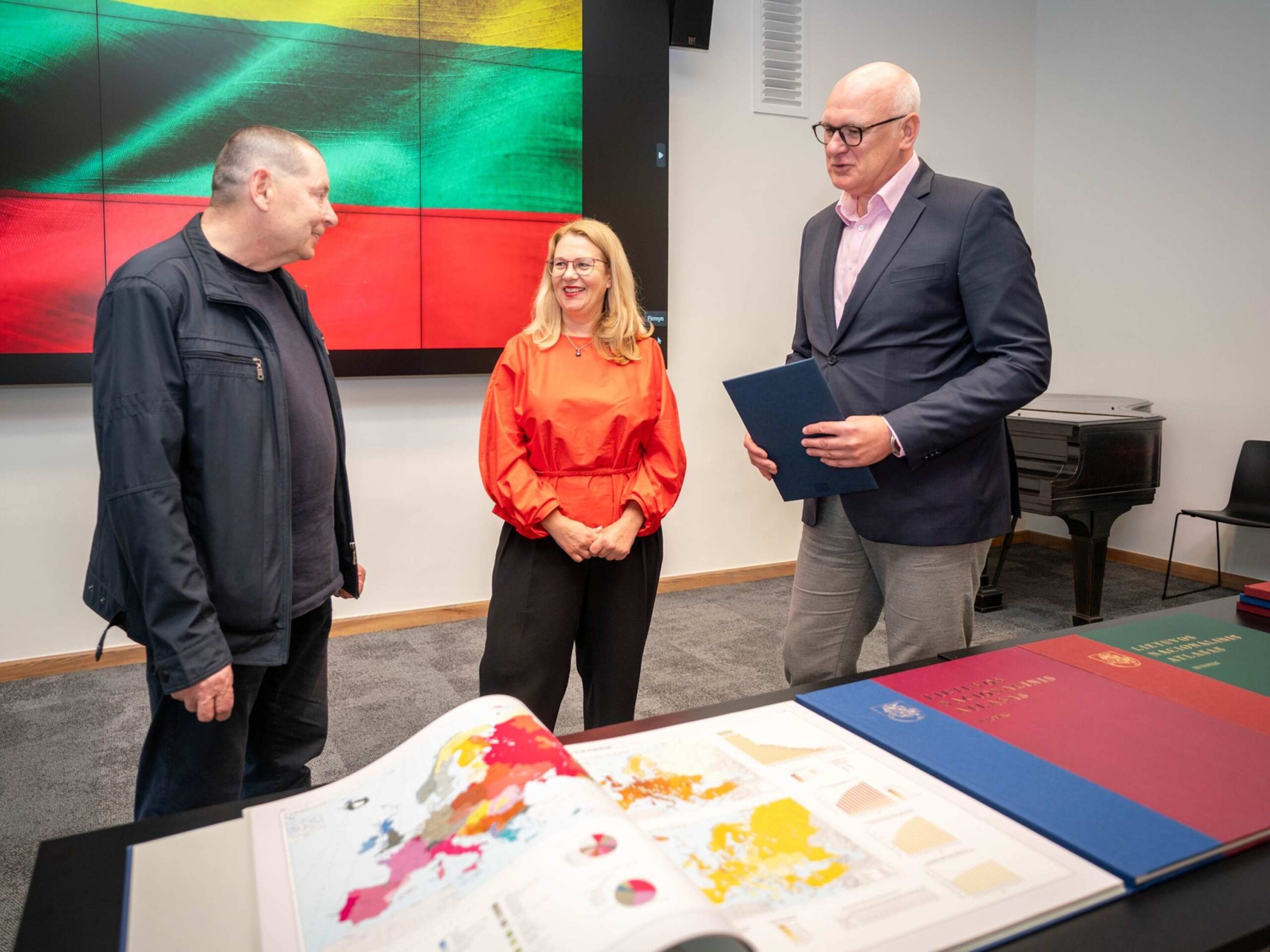
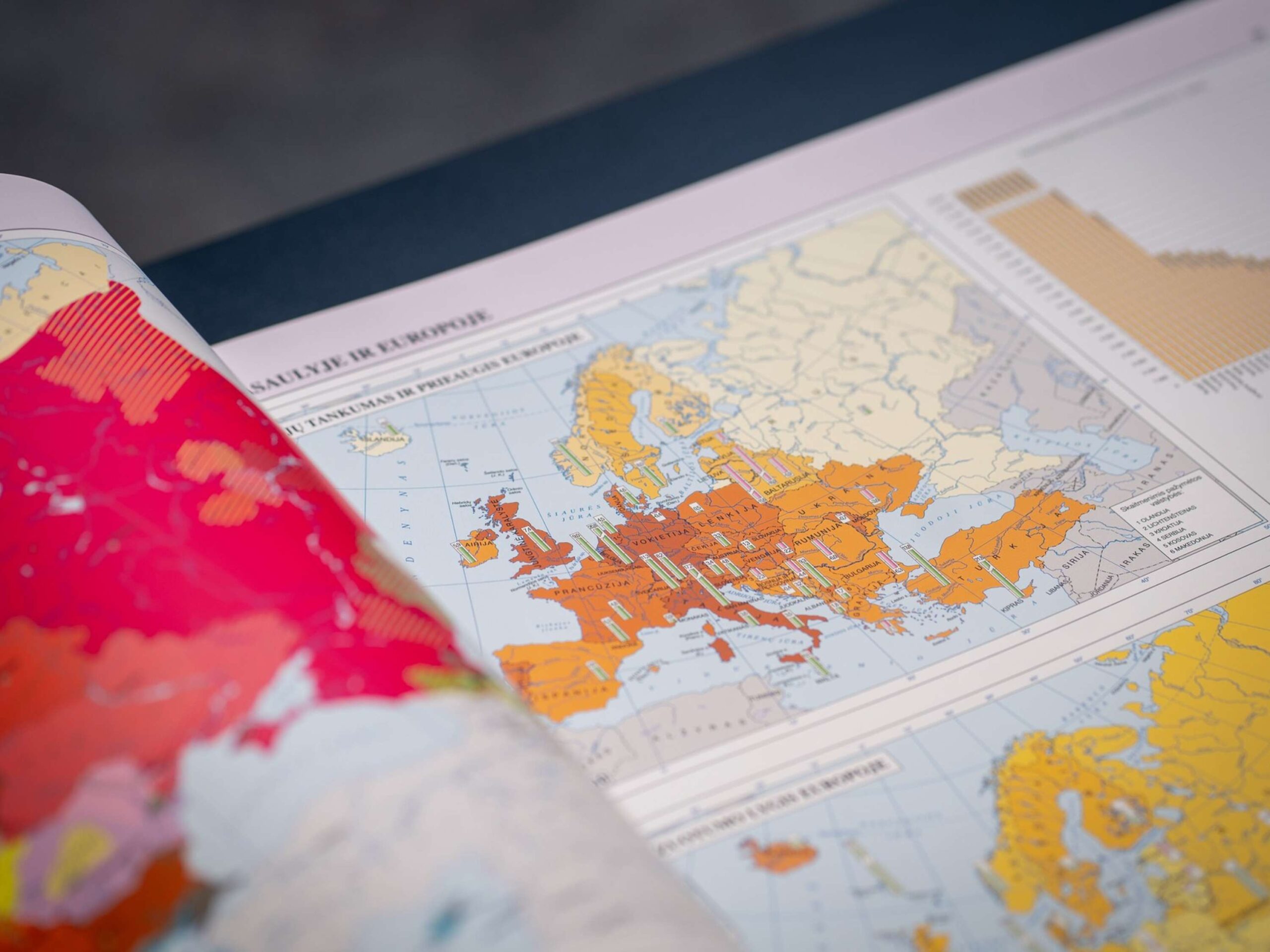
Volume I (2014) is a comprehensive encyclopedic cartographic publication that, for the first time since the restoration of independence, presents Lithuania in a broad international context – both globally and in Europe. It covers the natural environment of the country: geological layers, terrain, climate, water bodies, soils, biota, and landscapes. The volume includes as many as 224 original maps.
Volume II (2016) offers a detailed historical narrative of Lithuania through maps. It reflects the formation of the Lithuanian nation, the emergence of the state, periods of occupation, and the development of independent Lithuania. Most maps are based on archival sources, statistical data, and the latest scholarly research.
Volume III (2017) captures political, social, economic, and cultural transformations at the turn of the 20th and 21st centuries. It presents changes in administrative divisions, ethnic composition of the population, religions, prevailing political attitudes, development of industry and transport systems, agricultural and forestry development, and communication services.

“These atlas volumes testify to the natural, historical, and social diversity of our country and enable a broad audience to understand it through the clear and accessible language of maps. We hope the museum will ensure both their proper preservation and availability to the public and researchers,” noted Saulius Mickus, Director of the National Land Service, when presenting the gift.
“This gift represents not only topographical documentation but also a part of our state’s memory,” emphasized Rūta Kačkutė, Director General of the National Museum of Lithuania. “We are pleased that such valuable and historically significant items are enriching the museum’s collections.”
One of the Largest Map Collections in Lithuania
The Cartography Collection of the National Museum of Lithuania comprises over 20,000 items – from early 16th-century documents to contemporary maps that reflect political, cultural, and geographical changes in the country. This collection serves not only a scientific and educational purpose but also conveys the nation’s history in a unique visual format.
The most recent additions – the volumes of the National Atlas of Lithuania – will undoubtedly become an important historical resource for researchers and visitors alike and will enrich the cultural heritage narratives featured in the exhibitions of the National Museum of Lithuania.
Photos by Silvestras Samsonas, National Museum of Lithuania